Whangarei
17.89°C

Whangarei
17.89°C
Waitakere City
16.98°C
Manukau City
17.11°C

Papakura
24.46°C
Hauraki
17.26°C

Waikato
17.67°C
Matamata
18.46°C
Hamilton
17.51°C
Otorohanga
18.52°C
Rotorua
16.6°C
Taupo
15.44°C
Tauranga
19.27°C
Kawerau
18.6°C
Whakatane
19.64°C
Gisborne
15.51°C
New Plymouth
16.98°C

Stratford
8.97°C
Ruapehu
14°C
Wanganui
17°C
Palmerston North
16.41°C
Wairoa
19.19°C
Hastings
18.84°C
Napier
18.49°C
Masterton
15.49°C
Carterton
15.66°C
Porirua
15.99°C
Lower Hutt
16.45°C

Wellington
15.79°C

Tasman
9.35°C
Nelson
16.27°C
Marlborough
3.22°C
Kaikoura
15.48°C
Christchurch
12.59°C
Ashburton
12.52°C
Timaru
13.37°C
Waitaki
11.32°C
Waimate
13.08°C

Queenstown
12.38°C
Dunedin
14.33°C
Southland
9.98°C
Gore
11.31°C
Invercargill
12.06°C
Blenheim
14.73°C
Te Anau
27.35°C
Wanaka
11.17°C
Kaikoura
13.38°C
Stratford
13.54°C
Upper Hutt
15.9°C
About
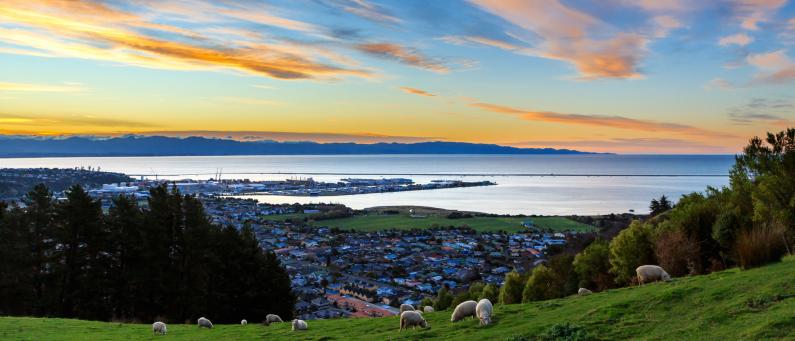
The Centre of New Zealand on Botanical Hill is one of Nelson’s most popular walks. The starting point is the Botanical Reserve, over a footbridge from the end of Hardy Street, or you can start at the Nelson Visitor Information Centre and follow the Maitai Walkway to the Hardy Street footbridge. Take a look at the interpretive panel at the bottom of the hill for some views of Nelson over the last century, and the history of this ‘Village Green’.
To reach the Centre of New Zealand will take 20-60 minutes, depending on your age, speed and fitness. The main track is suitable for sturdier push chairs and buggies. At the top take a seat, enjoy the stunning view and pick out the features of Nelson’s geography from the information panels.You can go downhill on one of the other tracks on the Botanical Hill, or opt to head along the hillside to Walters Bluff. A good summer option is to take your togs, walk down the eastern side of the hill to Branford Park, have a swim at Black Hole and take the Maitai Track back to your starting point.
The name reflects the work of John Spence Browning the Chief Surveyor for Nelson in the 1870's. He used the top of the hill as a central survey point for doing the first geodetic survey of New Zealand when earlier isolated surveys where combined. A survey in 1962 located the centre of New Zealand at 41deg. 30min S., 172deg. 50min E., which is a point in the Spooners Range in the Golden Downs Forest. The survey did not include the Chathams.
In the early days of European settlement in New Zealand, independent surveyors made isolated surveys that were not connected up. In the 1870s, it was decided to connect these up by a geodetic survey (one that takes into account the curvature of the earth) and John Spence Browning, the Chief Surveyor for Nelson was the only surveyor with the practical experience to do the job. Because he was located in Nelson he was instructed to begin the job here and to extend the survey south to the West Coast.
Later it was connected up to surveys from Canterbury. Using the triangulation method to make the survey, Browning took the easily accessible Zig Zag track to the summit of the Botanical Hill and made this the starting point for the apex of his first set of triangles. The base line for the triangle was laid out in what is now Rutherford Street, between Examiner St and Haven Rd.
In 1962 the Department of Scientific and Industrial Research conducted a gravity survey that took in Stewart Island, the North and South Islands, and the smaller inshore islands, but not the Chathams. This survey located the centre of New Zealand at 41deg. 30min S., 172deg. 50min E., which is a point in the Spooners Range in the Golden Downs Forest.


