Whangarei
17.89°C

Whangarei
17.89°C
Waitakere City
16.98°C
Manukau City
17.11°C

Papakura
24.46°C
Hauraki
17.26°C

Waikato
17.67°C
Matamata
18.46°C
Hamilton
17.51°C
Otorohanga
18.52°C
Rotorua
16.6°C
Taupo
15.44°C
Tauranga
19.27°C
Kawerau
18.6°C
Whakatane
19.64°C
Gisborne
15.51°C
New Plymouth
16.98°C

Stratford
8.97°C
Ruapehu
14°C
Wanganui
17°C
Palmerston North
16.41°C
Wairoa
19.19°C
Hastings
18.84°C
Napier
18.49°C
Masterton
15.49°C
Carterton
15.66°C
Porirua
15.99°C
Lower Hutt
16.45°C

Wellington
15.79°C

Tasman
9.35°C
Nelson
16.27°C
Marlborough
3.22°C
Kaikoura
15.48°C
Christchurch
12.59°C
Ashburton
12.52°C
Timaru
13.37°C
Waitaki
11.32°C
Waimate
13.08°C

Queenstown
12.38°C
Dunedin
14.33°C
Southland
9.98°C
Gore
11.31°C
Invercargill
12.06°C
Blenheim
14.73°C
Te Anau
27.35°C
Wanaka
11.17°C
Kaikoura
13.38°C
Stratford
13.54°C
Upper Hutt
15.9°C
About
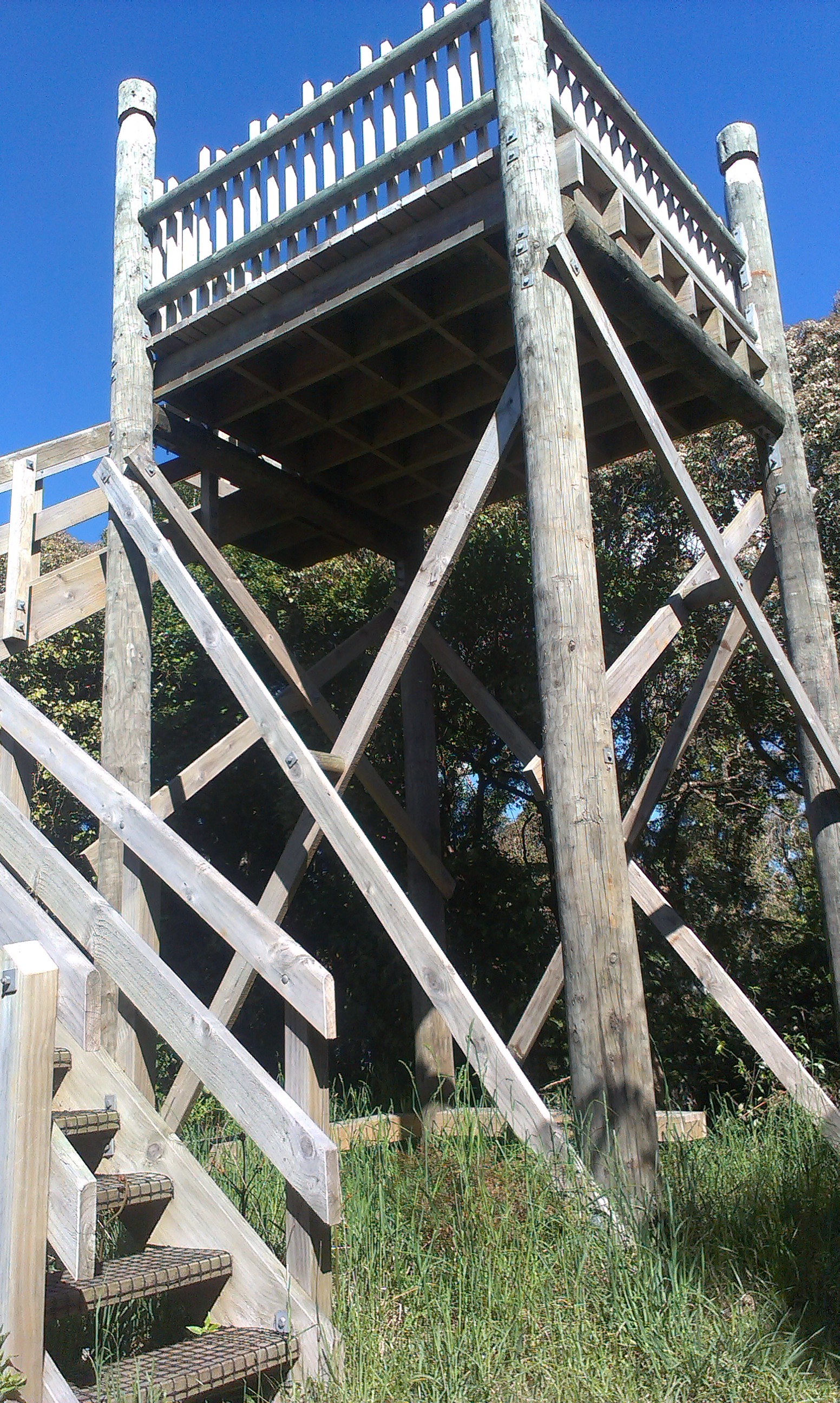
The Te Tapui Scenic Reserve includes the two peaks of Te Tapui at 492m and Maungakawa at 495m. The Te Tapui Loop Track to the summit of Maungakawa starts at Piakonui Rd, west of Matamata, northeast of Cambridge and southeast of Morrinsville. It can be walked in a clockwise or anticlockwise direction, although the DoC description recommends the anticlockwise direction.
However, the times and distances on the DoC site do not entirely agree with my experience. The distance is close to 6.5km measured by GPS instead of 4km, and the time of 3 hours should be ample even with a long break at the summit.
Piakonui Rd is mostly a narrow gravel road, but slightly better from the northern end than the southern end. There is a parking area at the start of the track, but no toilet facilities anywhere on the walk.
Walking the loop anticlockwise gives a fairly direct and not very steep route to the summit, on a well-marked track on forest floor, with numerous exposed tree roots. The distance is about 3km, and took about 1h 10m to walk. Total climb is from about 130m to the summit at 495m.
The downward section of the track is very similar to the upward, but slightly longer at about 3.5km, and has some short uphill parts as well as downhill. Total time was almost 1h 10m, or about the same as the ascent.


